SOLUTIONS
One intelligence system for monitoring land-based climate projects.
TerraMetric combines geospatial data, environmental indicators, and reporting workflows to help teams manage climate projects with more clarity and confidence.
Request a Project Review




Land Monitoring
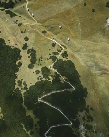
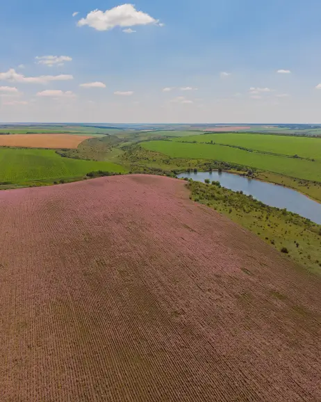
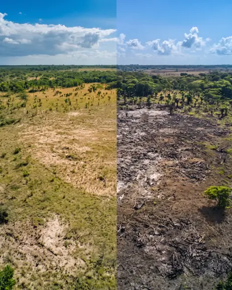
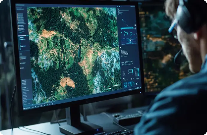
Use satellite imagery and geospatial analysis to track vegetation, land use, restoration progress, and environmental changes over time.

Carbon & Impact Metrics
Translate monitored changes into indicators that support carbon, restoration, conservation, and biodiversity reporting.
Reporting & Communication
Turn technical data into clear reports, maps, and executive summaries for investors, partners, and stakeholders.

Stakeholder-ready reports
Transform technical analysis into clear updates for decision-makers.
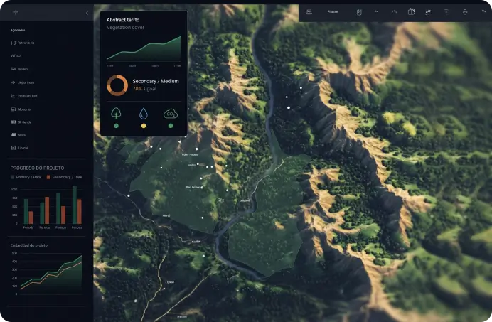
Visual maps and summaries
Communicate progress through maps, charts, and simplified environmental indicators.
Recurring intelligence cycles
Keep teams updated with consistent monitoring and reporting over time.