How It Works
A clearer workflow for climate project intelligence.
TerraMetric structures land, climate, and project data into a repeatable intelligence workflow for monitoring, analysis, and reporting.

STEP 01.

Map the project area
We define the land boundaries, project goals, environmental context, and monitoring needs so the intelligence workflow starts with a clear project baseline.
STEP 02.
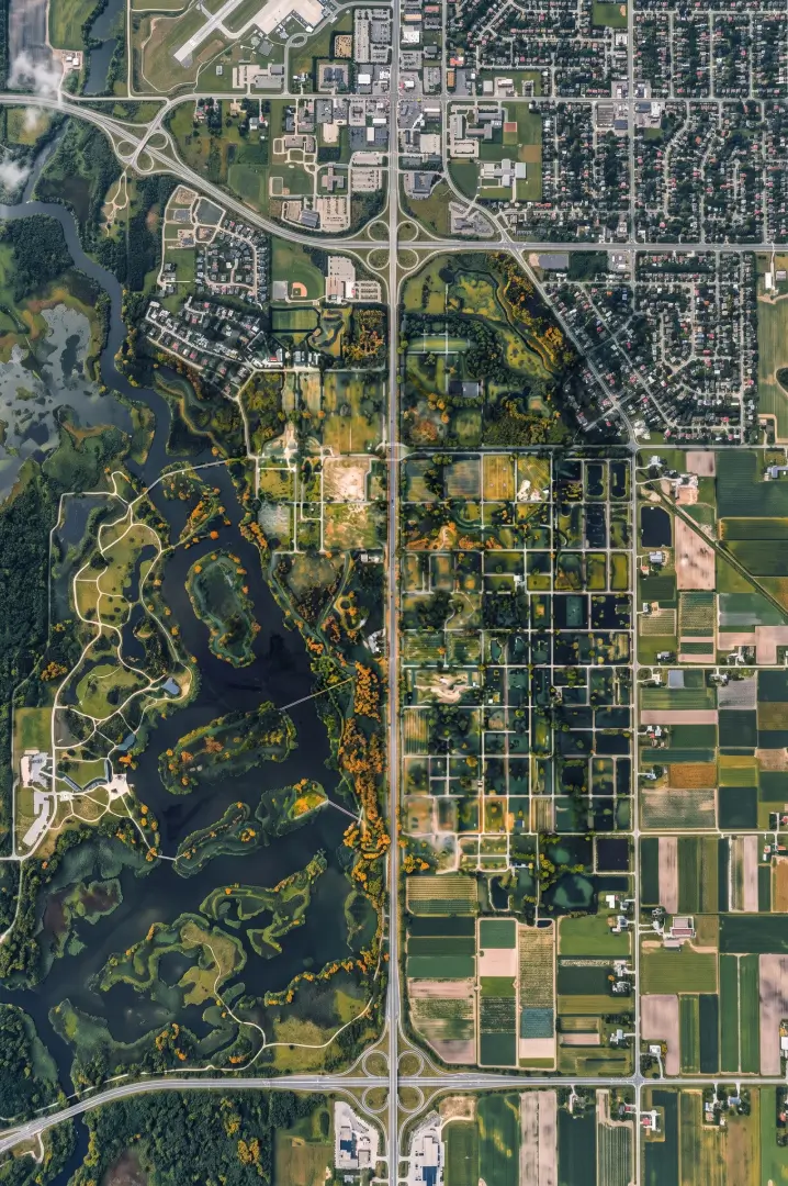
Collect and consolidate data
We combine satellite imagery, geospatial layers, field inputs, and project documentation into a structured monitoring foundation.
STEP 03.

Analyze environmental indicators
We identify changes, risks, progress signals, and measurable impact across time using geospatial and environmental analysis.
STEP 04.

Generate reports and visual outputs
We deliver maps, insights, summaries, and stakeholder-ready reports designed to make technical information easier to understand and act on.
STEP 05.

Monitor continuously
We keep project teams updated through recurring intelligence cycles, helping them track progress, identify risks, and communicate developments with confidence.
Climate intelligence for land-based projects
Bring clarity to your next climate project cycle.
Tell us about your project area, monitoring needs, and reporting goals. We’ll help you understand how TerraMetric can support your team.
Request a Project Review
© 2026 TerraMetric - All Rights Reserved
Climate intelligence for land-based projects
Bring clarity to your next climate project cycle.
Tell us about your project area, monitoring needs, and reporting goals. We’ll help you understand how TerraMetric can support your team.
Request a Project Review
© 2026 TerraMetric - All Rights Reserved
Climate intelligence for land-based projects
Bring clarity to your next climate project cycle.
Tell us about your project area, monitoring needs, and reporting goals. We’ll help you understand how TerraMetric can support your team.
Request a Project Review
© 2026 TerraMetric - All Rights Reserved
STEP 01.
STEP 01.
STEP 01.

Map the project area
Map the project area
We define the land boundaries, project goals, environmental context, and monitoring needs so the intelligence workflow starts with a clear project baseline.
We define the land boundaries, project goals, environmental context, and monitoring needs so the intelligence workflow starts with a clear project baseline.
STEP 02.
STEP 02.

Collect and consolidate data
Collect and consolidate data
We combine satellite imagery, geospatial layers, field inputs, and project documentation into a structured monitoring foundation.
We combine satellite imagery, geospatial layers, field inputs, and project documentation into a structured monitoring foundation.
STEP 03.
STEP 03.

Analyze environmental indicators
We identify changes, risks, progress signals, and measurable impact across time using geospatial and environmental analysis.
STEP 04.
STEP 04.

Generate reports and visual outputs
We deliver maps, insights, summaries, and stakeholder-ready reports designed to make technical information easier to understand and act on.
STEP 05.
STEP 05.

Monitor continuously
We keep project teams updated through recurring intelligence cycles, helping them track progress, identify risks, and communicate developments with confidence.