Climate intelligence for land-based projects
Monitor, measure, and communicate the progress of climate projects with geospatial intelligence.
TerraMetric helps carbon developers, landowners, and environmental teams turn complex land data into clear, decision-ready insights for restoration, conservation, and carbon projects.
Explore Solutions
Request a Project Review


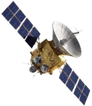
Land-based projects often depend on fragmented reports, scattered field data, and outdated imagery.
Without a clear monitoring system, it becomes harder to prove progress, identify risks, and communicate impact with confidence.
Climate intelligence for land-based projects
From raw land data to credible climate intelligence.
TerraMetric connects monitoring, measurement, risk analysis, and reporting into one clear intelligence workflow for land-based climate projects.
Monitor land changes
Track vegetation, land use, restoration progress, and environmental changes across time.

Measure carbon and impact indicators
Translate monitored changes into indicators that support carbon, restoration, conservation, and biodiversity reporting.
Identify risks and pressure signals
Detect land-use changes, degradation patterns, deforestation pressure, and areas that may require closer monitoring or field validation.
Report progress to stakeholders
Turn technical data into clear reports, maps, and executive summaries for investors, partners, and project teams.
Built for climate project teams
Built for teams responsible for land, climate, and credibility.
Carbon project developers
Monitor project areas, identify risks, and support reporting with geospatial intelligence.

Landowners and project operators
Understand how land is changing and communicate project progress with more confidence.

Climate funds and environmental teams
Evaluate climate projects with clearer data, maps, indicators, and recurring intelligence cycles.

Grounded intelligence